
AERIAL DATA
Aerial Data, analysed.
Drone survey and AI analysis for property, energy and infrastructure. We show you what's there. Your specialist decides what it means.
01
Survey
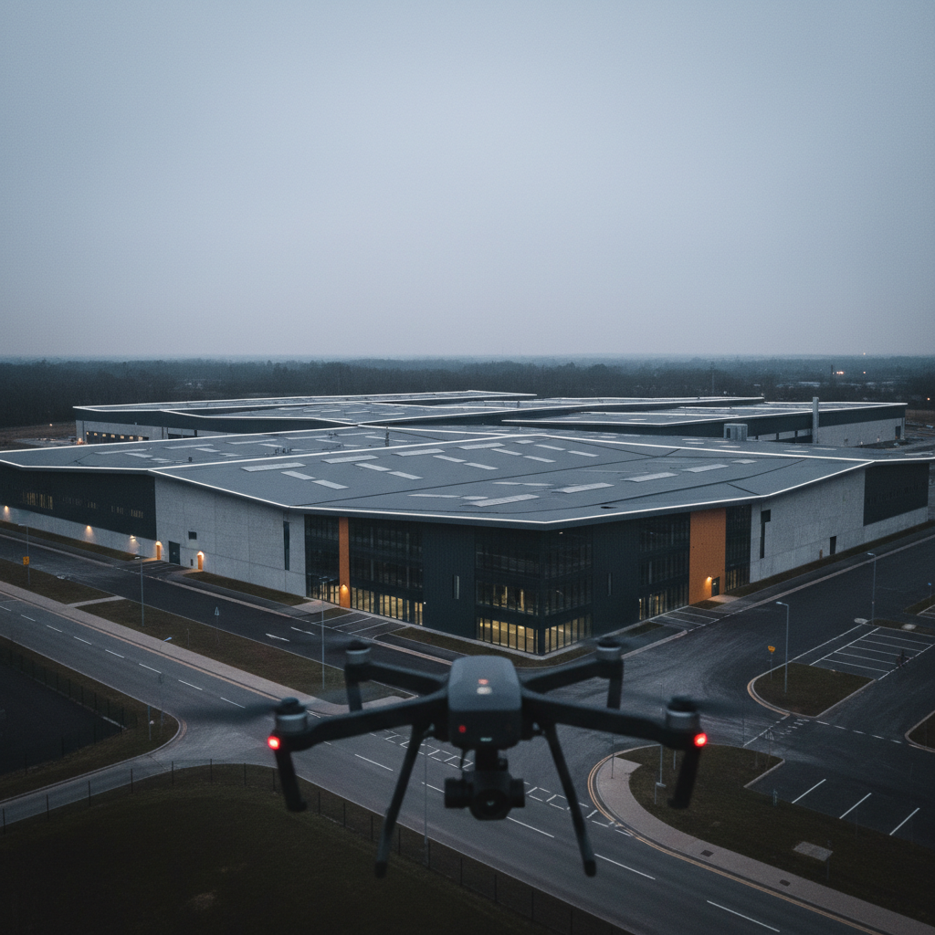
We fly a planned route over your building or site, capturing visual, thermal and LiDAR data.
02
Analyse
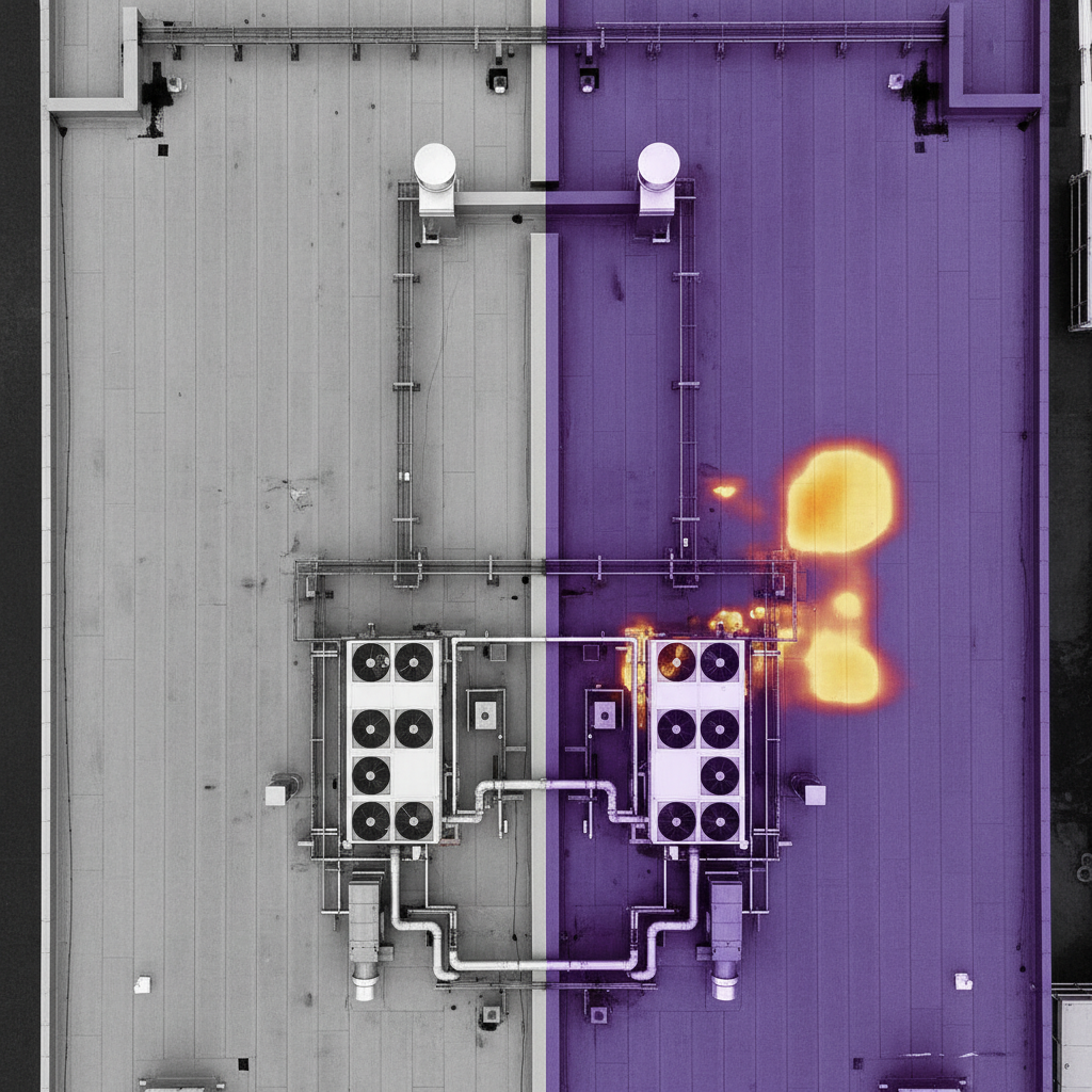
AI reviews every image, flags anomalies and change, and measures what it finds. A pilot checks every flag.
03
Report
You get a dated report showing what was found and exactly where. Take it to your specialist, insurer or contractor.
WHY IT MATTERS
The faster you have the data, the faster things move.
When something goes wrong, a storm, a fire, a flood, the clock starts immediately. Insurers need evidence. Loss adjusters need access. Contractors need scope. Every day without clear data is a day nothing moves.
We can be on site fast, capture everything safely without putting anyone at height, and have a dated report in your hands within 48 hours. The right people get what they need to make decisions and get things done.
On site quickly
We mobilise fast. No scaffolding, no access platforms, no waiting weeks for a survey window.
Safe capture without access risk
Structures that are unsafe to enter or inspect on foot are captured fully from the air.
Report within 48 hours
Dated, geotagged and AI-analysed. Ready to go straight to your insurer, adjuster or contractor.
Before and after comparison
Programme clients get an immediate comparison against their last survey, showing exactly what changed.
Know what you're getting.
PRE-CLEAN SURVEY
Part of every cleaning contract. We survey access, surfaces and site conditions to plan the cleaning method.
This is not a check of the building's condition.
AERIAL DATA SURVEY
A full condition capture with AI analysis and a dated report. Book it on its own, or add it while we're already on site for a clean.
ADD TO MY VISITWHO IT'S FOR
Built for the people who need the data.
01
Property and Estates
A yearly record of your buildings, so issues are caught while they're small.
02
Energy
Thermal analysis of solar arrays and energy assets, panel by panel.
03
Infrastructure
Safe capture of structures that are hard or costly to reach.
04
Architects and Consultants
Measured 3D models and dated records of existing buildings.
05
Insurers and Brokers
Independent condition records on the properties you cover.
06
Loss Adjusters and Assessors
Fast capture after storm, water or fire, without anyone at height.
PREVENTATIVE PROGRAMMES
Evidence your building is looked after.
Annual, biannual or quarterly surveys build a dated record of your building, year on year. Problems are flagged early. And at renewal, you have independent evidence to show your broker or insurer that your property is surveyed and maintained.
Frequency is agreed with you, some assets need quarterly visits, others once a year.
START A PROGRAMMEINCIDENT RESPONSE
When something happens, we capture it fast.
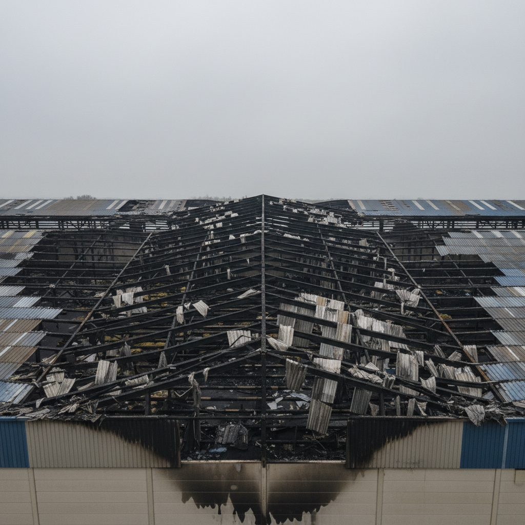
After a storm, flood or fire, we survey structures that aren't safe to access, once the site is released by the emergency services. Programme clients are flown first, with a before-and-after comparison against their last survey.
Data you can rely on.
- 01Original files kept, unedited
- 02Every image dated and geotagged
- 03Full capture record: pilot, aircraft, weather, method
- 04Every AI flag checked by a pilot
- 05Stored securely, shared only with people you approve
- 06CAA licensed operator, fully insured
See a real report.
REQUEST A SAMPLE REPORTSEND AN ENQUIRY